Habitat Surveys and Monitoring
Habitat surveys involve the production of a list of plant species identified within a site. This includes broad-leaved plants, as well as grasses, sedges, rushes and ferns. Depending on the habitat, this might also involve recording bryophytes (mosses and liverworts). The relative abundance of each species is also recorded, as well as general notes about the habitat, such as management and condition.
Using this information, broad habitats can be assigned, usually during the survey, and a habitat map produced. This can provide local and national context to the site, in terms of its importance. This is an initial, or Phase 1 survey, which comprises the majority of habitat survey work. Further detail of the vegetation communities can be acquired by carrying out a Phase 2 or National Vegetation Classification (NVC) survey, which is often useful for monitoring sites.
We are constantly developing new techniques and services for our clients. If you would like to discuss the needs of a project or potential project, you can check our staff page for details on how to contact the appropriate member of staff.
Example of previous/current projects:
- Biodiversity Monitoring Framework – Devon County Council and Devon Wildlife Trust.
- Beaver Activity Zones mapping – Devon Wildlife Trust.
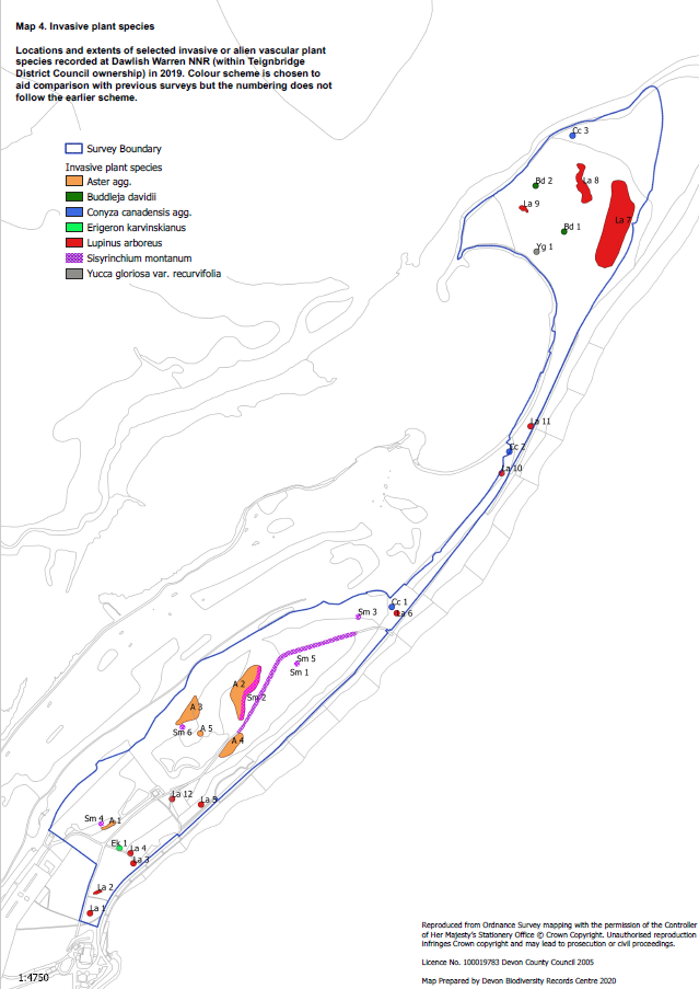
- Dawlish Warren NNR vegetation mapping.
- Devon Wildlife Trust Reserve monitoring.
- Fursdon Estate Survey – Fursdon Estate and Working Wetlands.
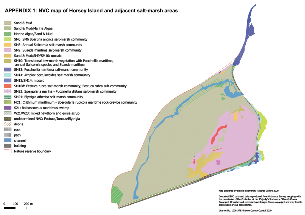
- Horsey Island Monitoring – Devon Wildlife Trust.
- Living Dart – Salt Marsh Project.
- Tellima Grandiflora Mapping at Heddon valley.
- Plymouth Ancient Tree Survey – Plymouth City Council.
- River Sid Project – Devon Wildlife Trust and The Sid Vale Association
- Sabellaria survey – Devon Wildlife Trust.
- South West Peatlands Partnership.
- Survey for Landowners.
- Tamara Landscape Partnership – baseline surveys.
- Tiverton Canal Macrophyte Survey.
Saltmarsh Project
Click here to view the story map in another tab.
Horsey Island Habitat map 2020

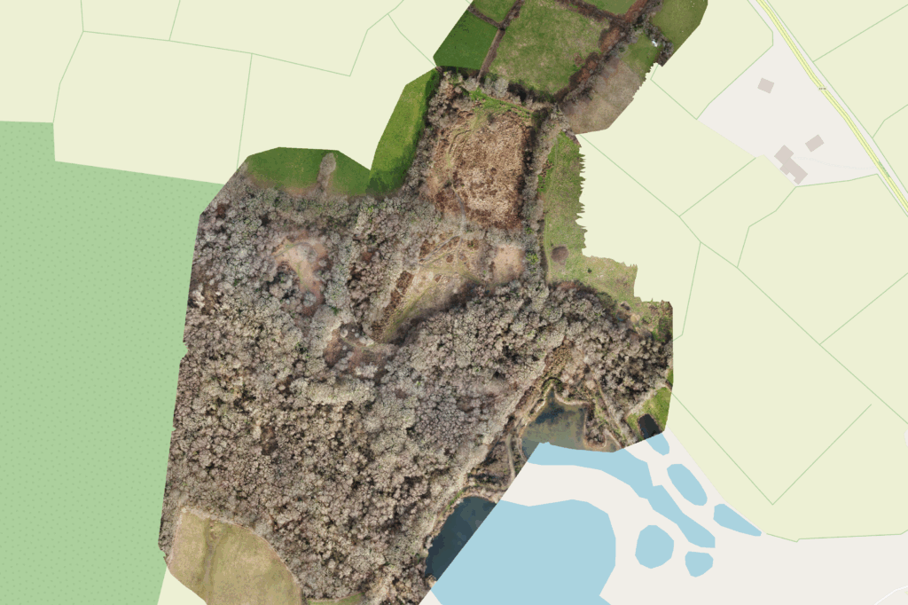
Drone surveying and orthographic imaging

Dawlish Warren NNR Vegetation Mapping
